
Tinley Park ZIP Coverage
Official postal evidence connects three codes with the Tinley Park label. USPS ZIP Lookup remains the operational test for one full street address. Postal bulletins and label files explain changes and groupings, but the research did not locate a complete official parcel-to-code boundary table.
| ZIP Code | Areas Covered | Post Office | Notes |
|---|---|---|---|
| 60477 | Standard Tinley Park mailing label | Tinley Park delivery area | Not proof of village or county boundary |
| 60487 | Portion of deliveries formerly in 60477 | Tinley Park delivery area | Effective July 1, 2006 |
| 60478 | Tinley Park label grouping or edge case | Verify by full address | No clean official boundary polygon found |
None of these entries should be treated as a household roster. An address with a Tinley Park postal label may fall on either side of the Cook-Will line or outside the incorporated limit. Record the standardized USPS result and its search date, then identify the parcel through county GIS.
Tinley Park's 60487 Split
The 2006 USPS Postal Bulletin says 60487 became effective July 1, 2006 for a portion of 8,264 deliveries that had used 60477. This is the page's clearest local numbers story. It explains why a pre-2006 document and a modern mailing record can carry different codes for the same general delivery area.
The change was postal, not a village annexation or transfer of property. When following an older person or address, search both the old and new code while preserving the date attached to each source. Do not silently replace 60477 with 60487 in a historic citation.
Tinley Park's 60478 Edge
A 2018 USPS bulletin places 60478 in the Tinley Park label context, and the USPS FAST label list groups 60477, 60478, and 60487. Those sources establish a label relationship, not a precise municipal polygon.
Treat 60478 as an address-level verification case. Enter the complete street address in USPS tools, save the returned label, and then check the county parcel. A ZIP code directory cannot responsibly draw a boundary that the official source did not publish.
Finding Tinley Park Residents by ZIP
No verified local assessor or GIS form in the research offers a dependable ZIP-wide resident filter. Cook's assessor form uses address, PIN, or owner search; CookViewer accepts address, intersection, or parcel; Will County uses address or PIN. The official voter lookup exists, but its current fields were not visible in the research renderer and Illinois law restricts public voter-file use. The safe workflow narrows geography without inventing a ZIP roster.
- Enter the complete address in USPS ZIP Lookup and save the standardized city, state, and code with the date.
- Determine Cook or Will County through the official GIS viewer, then capture the parcel or PIN.
- Use the county assessor to identify the property record. Treat an owner or taxpayer name as that role, not automatic occupancy.
- Check another official, dated source that fits the question. Respect voter-file redactions and use limits.
- Once the search reaches one named road, follow the address-keyed process rather than claiming a code-wide household list.
The Tinley Park street directory takes over once a code has been narrowed to a street. That route separates property ownership, mailing address, deed parties, and actual residence instead of blending them.
Tinley Park ZIP Search Fields
The official portals answer different geographic questions. USPS standardizes a mailing label. County property sites identify parcels without exposing a primary code field in the forms observed. The Illinois voter page is an official status lookup, but its live form must not be reconstructed from guesswork.
| Official tool | Observed input | ZIP behavior | Best use |
|---|---|---|---|
| USPS ZIP Lookup | Full address and city/state | Returns standardized label | Confirm current mailing code |
| Cook Assessor | Number, direction, unit, street, city, CAPTCHA | No primary ZIP field observed | Find Cook parcel record |
| CookViewer | Address, intersection, PIN | Map context, not occupant list | Verify county and parcel |
| Will SOA | Number, street, optional city; or PIN | No ZIP field observed | Validate Will address point |
| Illinois voter lookup | Live fields not captured | Do not infer hidden fields | Official registration check |
The Illinois voter lookup is the proper state endpoint. Its captured screen documents the available route without supporting claims about form fields.
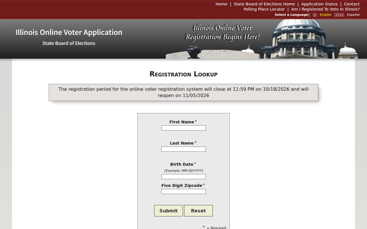
Use the live official form as presented, and never use redacted voter data to recreate a protected street number.
Tinley Park ZIPs and PINs
A parcel identification number is not a ZIP. Cook parcels use a 14-digit PIN, often shown with dashes, while Will County commonly displays a 16-digit PIN and may also use a 14-digit version that omits two leading computer-code digits. Save both the raw display and a digits-only copy.
The Cook County Assessor and CookViewer serve the Cook side. The Will County address search, PIN search, and GIS viewer serve the Will side. The parcel key controls the property trail even when the mailing label says Tinley Park.
Tinley Park ZIPs vs Village Limits
A Tinley Park label can overlap county, township, village, school, park, fire, library, and other district geography. Cook or Will County determines the assessor, recorder, court, vital-record, and election path. Bremen, Orland, or Rich Township can supply another useful historic or tax label. None is interchangeable with postal delivery geography.
- ZIP and ZIP+4
- The five-digit delivery area and an added four-digit segment that narrows a delivery group.
- PO-box ZIP
- A code assigned mainly or solely to post-office boxes; no such Tinley Park code was verified here.
- Unique ZIP
- A code assigned to one high-volume organization; no Tinley Park example was established.
- Carrier route
- A USPS delivery grouping within a code, which is not a village or parcel boundary.
Historic Tinley Park Postal Clues
Old records may use Bremen, New Bremen, Batchelor's Grove, or Thornton Road for what later sources call Tinley Park or 175th Street. The local grid also uses numbered streets from 159th through 191st and north-south roads such as Harlem, Oak Park, Ridgeland, and LaGrange. These terms help orient a search, but they do not form a code crosswalk.
For every historic hit, record the source title, date, original street wording, code if printed, county or township label, and modern comparison in separate fields. Check a plat, ordinance, deed description, and parcel map before declaring two addresses equivalent. Village actions around Oak Park and 185th, 171st and 84th, 159th Street, and 191st Street are event-specific, not a complete annexation history.
Tinley Park ZIP Population Context
U.S. Census QuickFacts reports 55,971 village residents in the 2020 census, compared with 56,703 in 2010. Its 2025 estimate is 55,140. The village covers 16.10 land square miles and had a 2020 density of 3,477.3 people per square mile.
These are village-wide measures. They cannot be divided among 60477, 60487, and 60478 without a verified geographic crosswalk and code-level dataset from the same date. Postal delivery areas can extend beyond village limits, and a code change can move routes without moving people. Use the figures only to describe Tinley Park as a whole.
Tinley Park ZIP Identity Checks
Postal geography can narrow searches for other official records, but the resulting identity still needs a second source. A professional license, for example, may supply a city or other public credential field while saying nothing about who lives at a specific address. The Illinois Department of Financial and Professional Regulation lookup separates individual and entity routes and publishes update and document guidance.
The captured IDFPR screen shows those official choices. Open the state license lookup only when a license is relevant to the person being researched.
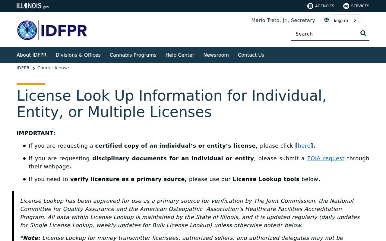
A license result confirms the credential and fields shown by the agency. It does not turn a postal code into proof of residence.
Tinley Park ZIP Record Routes
Online tools are only one access channel. County GIS, assessor, and recorder staff can help route a parcel question in person or by phone. Will County 9-1-1 Addressing can address discrepancies on the Will side. The Village Clerk, Planning, or Building staff can point to a responsive ordinance, plat, permit register, or existing address-history record.
A written request under the Illinois Freedom of Information Act should describe an existing record by date, area, and record type. Library reference staff and Illinois archives can help with old maps and directories. Do not ask any office to create a new resident list or disclose a private delivery, customer, or membership file.
When the address crosses systems, begin with the office that owns the geographic layer. County GIS staff can explain map metadata or address points. Assessors can route parcel-card questions, while recorders handle recorded instruments. The Village Clerk can receive a narrow request for an existing annexation or road-jurisdiction document. For older code labels, library maps and postal bulletins may be more useful than a current portal.
Keep a compact evidence log: full address as entered, standardized USPS result, search date, county, township, raw parcel number, source URL, and the role attached to any name. Mark disagreements instead of choosing the most convenient version. A current postal label and an old deed can both be accurate for their own dates.
Note: Keep the lookup date because codes, portal screens, district layers, and displayed parcel data can change.